Punjab Newsline | Mohali
Punjab government is preparing to digitise old and unclear property records in urban villages using high-resolution drone surveys and Geographic Information System (GIS) technology. The project, being developed by the Revenue, Rehabilitation and Disaster Management Department, will initially cover 50 villages under a pilot program.
The initiative aims to create accurate, transparent and geo-referenced records of properties falling within the Lal Lakir, or the village habitation area. Eligible property owners will subsequently be provided with verified digital property cards.
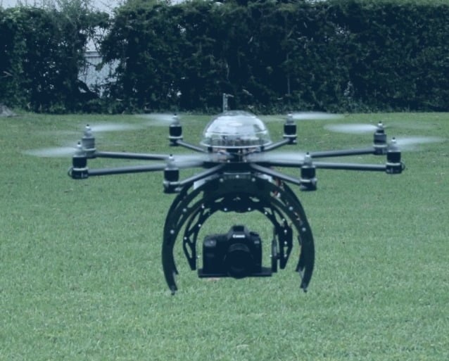
Under the project, high-resolution drones will first survey plots and other properties located within the Lal Lakir. The images and data collected through the survey will be used to prepare geo-referenced property maps.
The maps and related information will then be provided to field staff, who will conduct on-ground verification of property boundaries and available records. After the verification process, property owners and other stakeholders will be invited to submit claims and objections.
Any disputes related to property boundaries or records will be examined and resolved before the final records are prepared. Once the process is completed, verified property cards will be issued to eligible owners.
The project will be implemented under the Punjab Abadi Deh (Record of Rights) Act, 2021, along with subsequent amendments. The government also plans to develop a GIS-based land information system that can be easily updated with new records and changes in the future.
The system is expected to be integrated with Punjab's upcoming e-governance initiatives, enabling citizens to access verified property-related information digitally and making it easier for them to avail government services.